| Mileage: about 3.8 miles | Hike Rating: Moderate/Difficult |
| Change in elevation: about + 980 feet | Best time to hike: anytime |
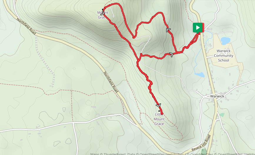
Parking:
Ohlson Field on Winchester Road (Route 78), about 0.5 miles north of the town center or about 2.9 miles south of the New Hampshire border.
Description:
This hike will give you bragging rights to having hiked up and down two peaks in one day: Mount Grace and her sister, Little Grace.
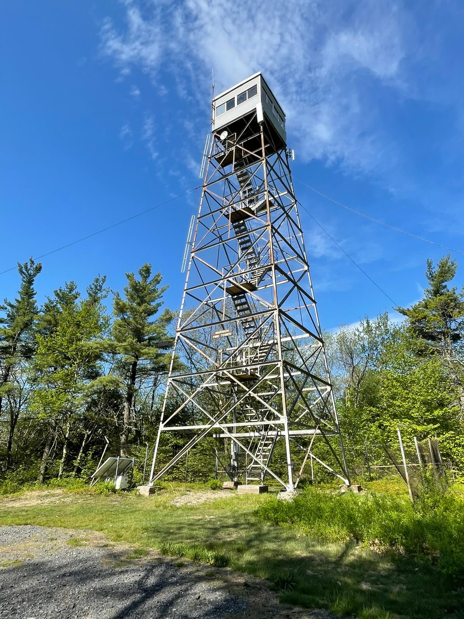
With the parking lot behind you, walk up the incline and enter the woods immediately on an unmarked trail on the lower left corner of the field. As you proceed through the woods along this trail, Ohlson Field will be on your right. At the end of the trail (about 0.1 miles), go left onto the blue triangular blazed Around the Mountain (ATM) Trail. At about 0.25 miles, proceed right at the “Summit” sign onto an unmarked and unnamed but broad and well-trodden trail, and at about 0.3 miles, continue right on this trail at the “To Summit” sign. You will climb gradually until the trail ends at the gravel service road. Turn right on this road and climb a bit more steeply. After passing by a spur on your left at about 1.5 miles, you will reach the summit of Mount Grace at about 1.6 miles. While there is no view from the ground, there is a metal fire tower that can be climbed to whatever level you feel comfortable. Long range 360-degree views are visible the higher you climb above the treetops.
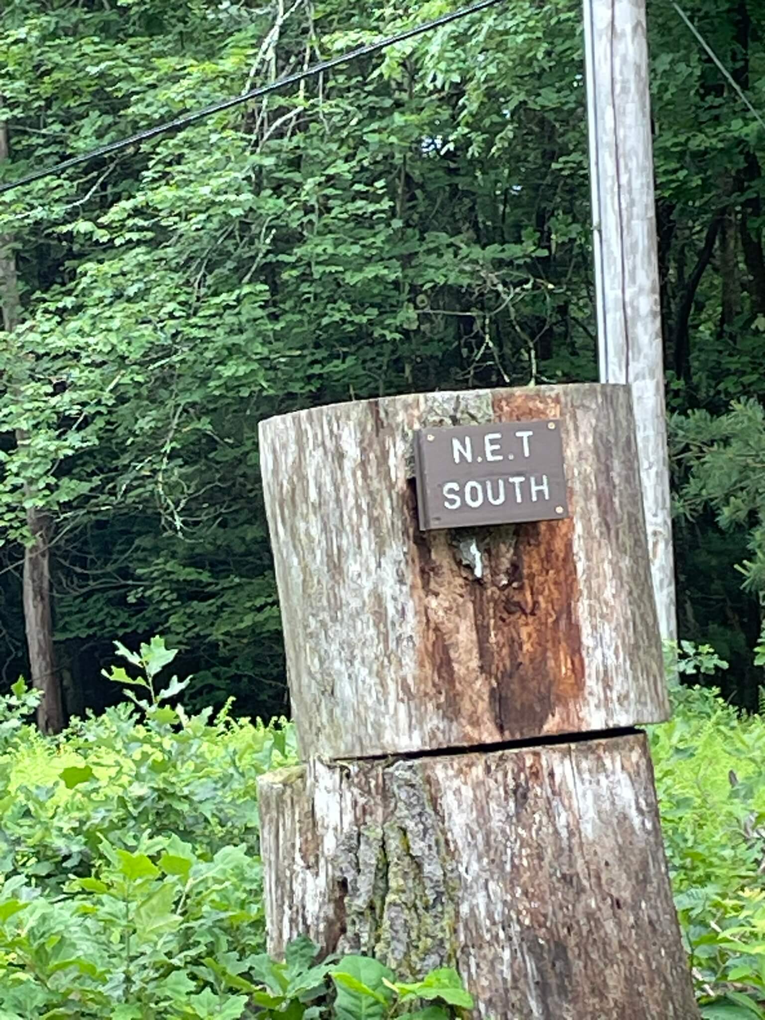
Proceed left (south) and down on the white rectangular blazed New England Trail (NET) which you will follow to Little Grace. The descent is steady and steep in parts, and the trail can be grassy for about the first 0.2 miles; watch out for ticks. At about 2.1 miles, you will see the gravel road on your left; bear right to stay on the NET. At about 2.4 miles, the trail rises as you begin to climb Little Grace. The trail levels out at the summit at about 2.7 miles where, alas, only a bit of a view is glimpsed through the trees to the southeast.
Turn around and proceed back down the NET. At about 3.3 miles, you will see the gravel road; this time, it will be on your right. Leave the NET and proceed up the road. At about 3.4 miles, proceed right and down at the sign that points to Ohlson Field. You are now on a rerouted section of the ATM. Continue down as this section seamlessly rejoins the ATM. At the sign that reads “To Ohlson Field .25”, you can bear right to stay on the ATM or proceed straight. Both routes will lead to a tee stop where you will proceed left to Ohlson Field. When you reach the field, bear right and walk across the field and back to the parking lot.
Warwick Trails Group – June 2026