| Mileage: about 1.8 miles round trip | Hike Rating: Easy/Moderate |
| Change in elevation: about – 345/+ 292 ft | Best time to hike: all year |
Parking:
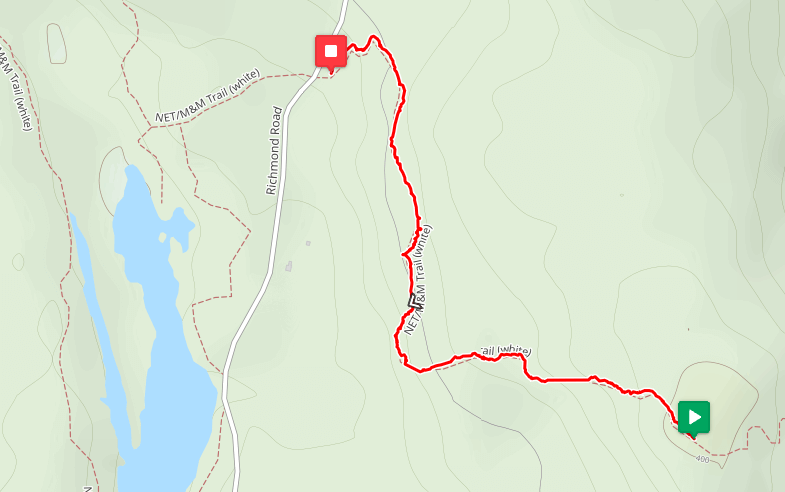
Shoulder parking on Richmond Road, about 1.9 miles north of the four-way intersection of Richmond, Athol, and Hastings Heights Roads.
Special notes: Parts of Richmond Road are unpaved.
Description:
This hike traverses an out-and-back section of the New England Trail (NET). You will be rewarded with wonderful views and a nice seat at the top of the hill.
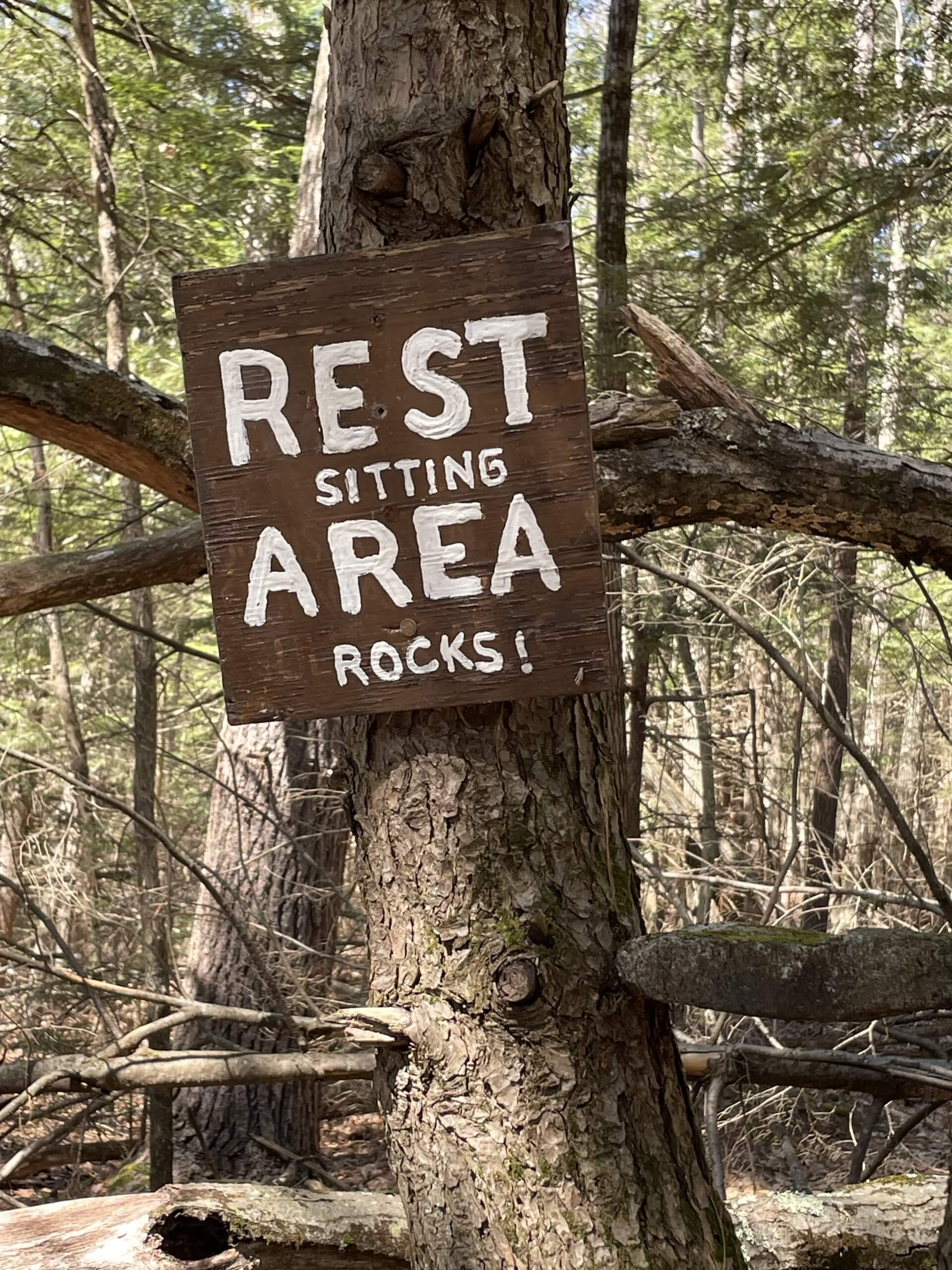
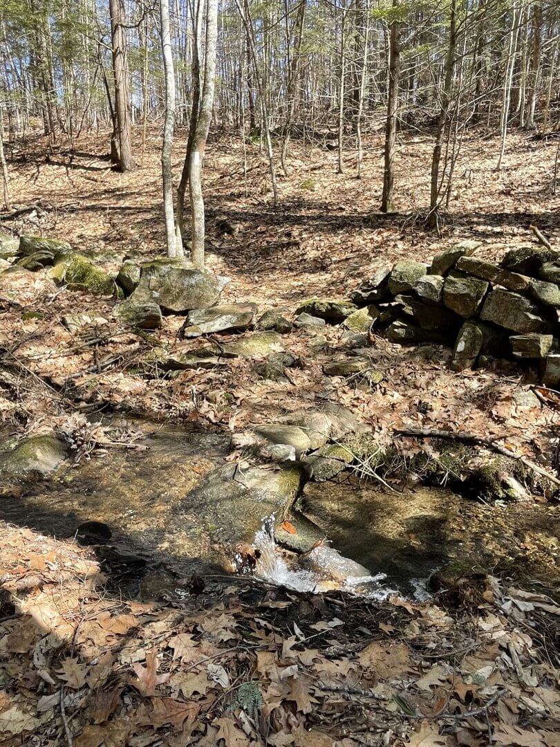
On the right side of the road, go north on the NET (marked with white rectangular blazes), starting up a short embankment. Soon, the trail crosses a stream with an old stone wall on the opposite bank. Continue along the trail as it bears right (south). The trail undulates before bearing left (east). Along the way, you will pass by “the sitting rocks” on your left. As you continue to proceed east, the NET crosses over an unmarked trail that goes left and right (north and south). Continue straight ahead (east) and upward on the NET which widens considerably until it reaches the top. Have a seat and enjoy the view. To your right (west) is Warwick’s Mt. Grace in the foreground with more mountains beyond. If it’s not too hazy, you can even see Mt. Greylock, Massachusetts’ tallest mountain. When there are no leaves on the trees, you can see a piece of Richards Reservoir down the hill to the west.
Proceed back down the trail to the start of the hike.
Warwick Trails Group – July 2025