| Mileage: about 2.6 miles, without side spurs* | Hike Rating: Easy |
| Change in elevation: about + 135 feet | Best time to hike: anytime |
Parking:
At the parking lot of the old prison camp on Richmond Road, about 1.1 miles north of the four-way intersection of Richmond, Athol, and Hastings Heights Roads.
Special Notes: *There are two optional side spurs; each is about 0.1 miles one-way.
Description:
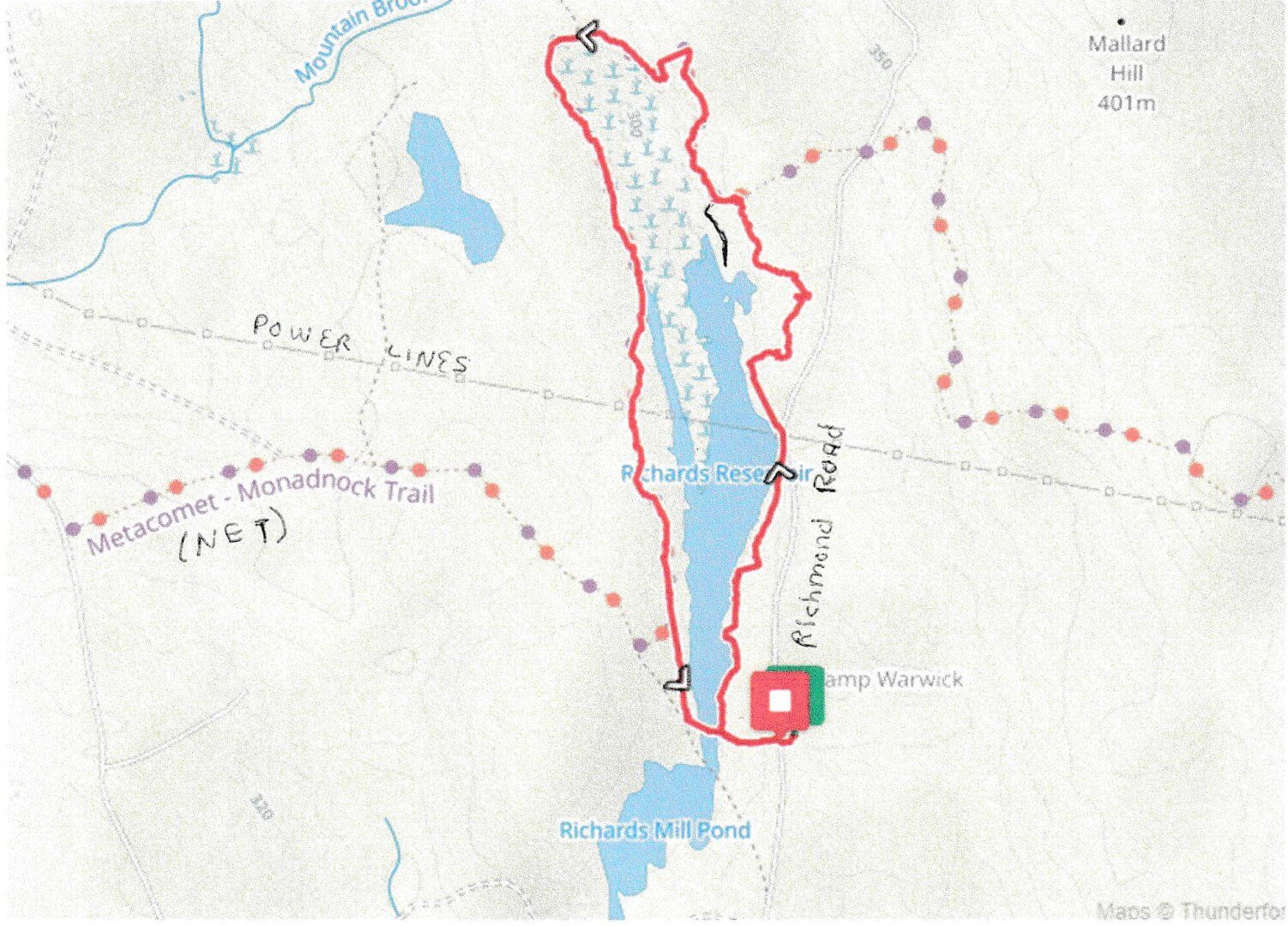
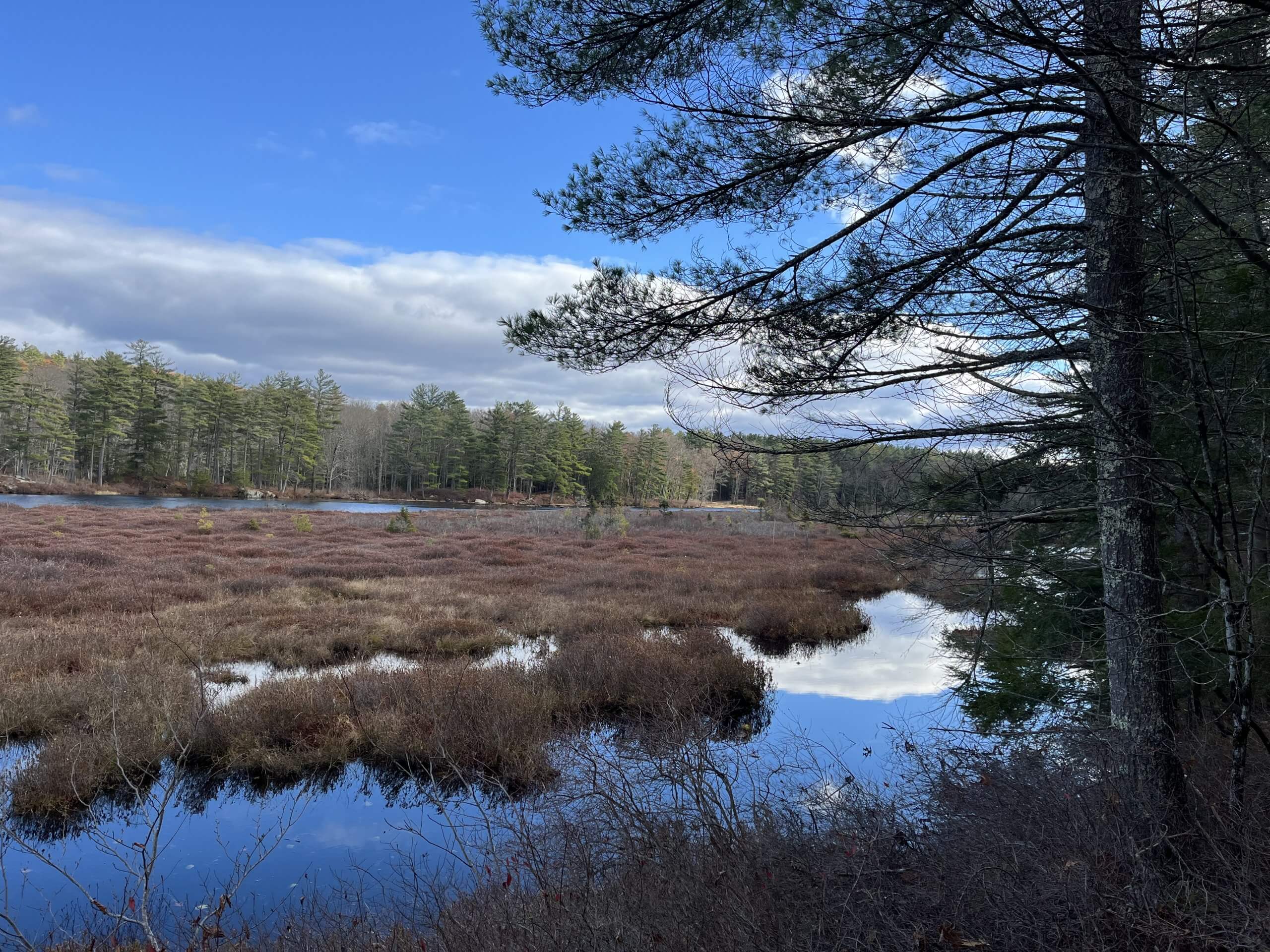
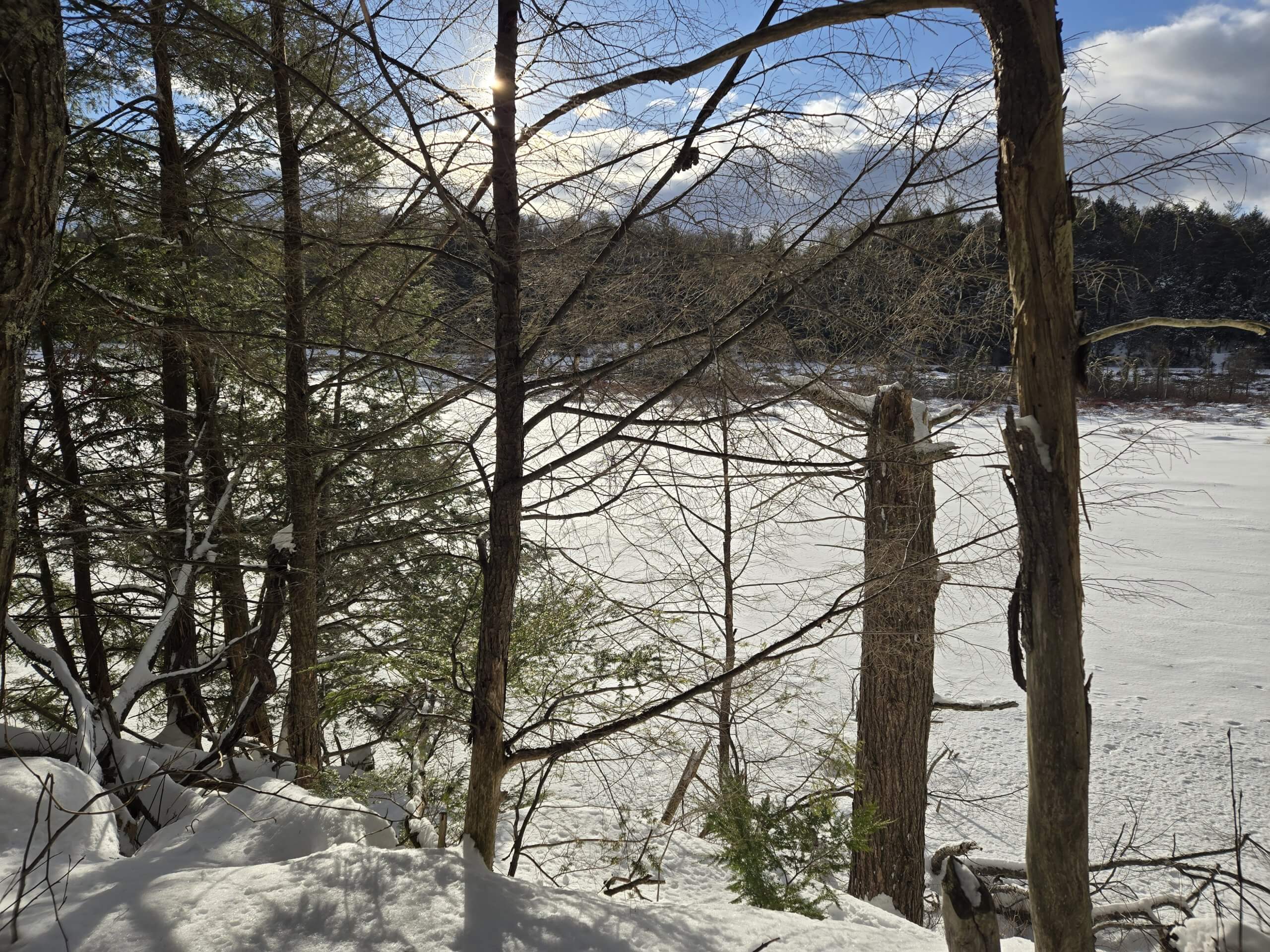
This easy counterclockwise hike proceeds around a lovely reservoir and wetland. About two thirds of the hike includes some of the New England trail.
Cross Richmond Road and proceed downward on the short paved road until you reach the reservoir. Proceed right, keeping the reservoir on your left, onto the blue rectangular blazed trail. Follow the trail through stands of mountain laurel until you reach Richmond Road and the power lines at about 0.4 miles. In a few feet, the trail continues back into the woods. At about 0.75 miles, proceed left onto the white rectangular blazed New England Trail (NET). At about 0.9 miles, you may want to take the spur on your left to a nice vista which gives a long north and south view of the reservoir and wetland. Otherwise, follow the NET as the trail undulates; watch for turns (double blazed rectangles) as you hike north and then south around the wetland. At about 1.4 miles, right after the trail crosses an old canal, you will see another spur on your right which you may want to take to see the remnants of an old beaver dam. At about 2 miles, as you pass under the power lines again, look across the water and up to your left; the top of the hill is the high point of the Up and Down With a View on the NET hike. Continue to follow the NET and at about 2.3 miles, when the NET bears right, go left and back onto the blue blazed trail. At about 2.5 miles, bear left when the trail intersects an old road. Very soon, you will see the dam on your left. If the water is low, you could cross over the dam and back up the short road to the parking lot. Or, continue straight on the old road and proceed around the southern end of the reservoir, passing by Richards Mill Pond on your right. When you are back on the other side of the reservoir, proceed back up the short road to the parking lot.

Warwick Trails Group – November 2025
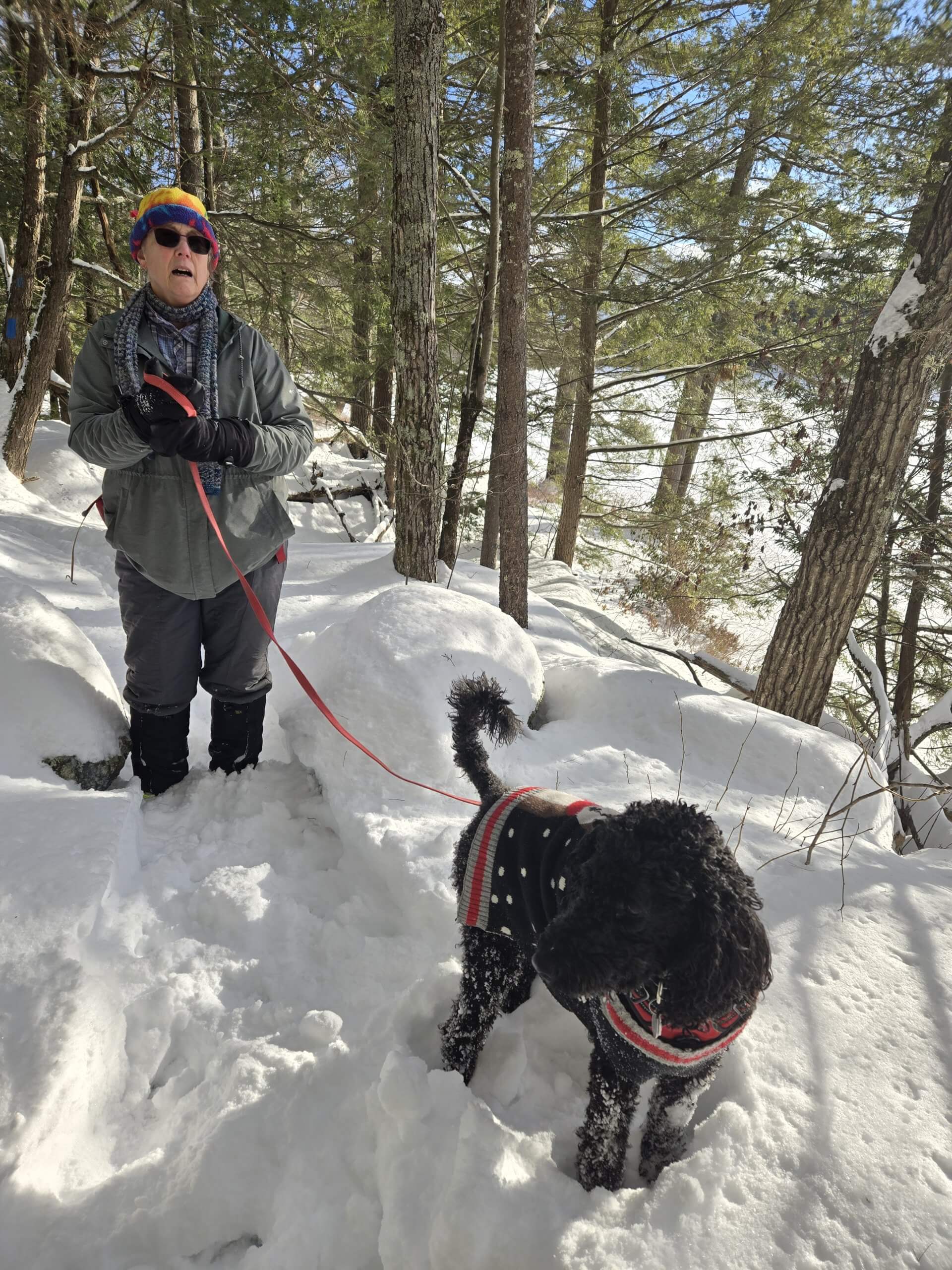
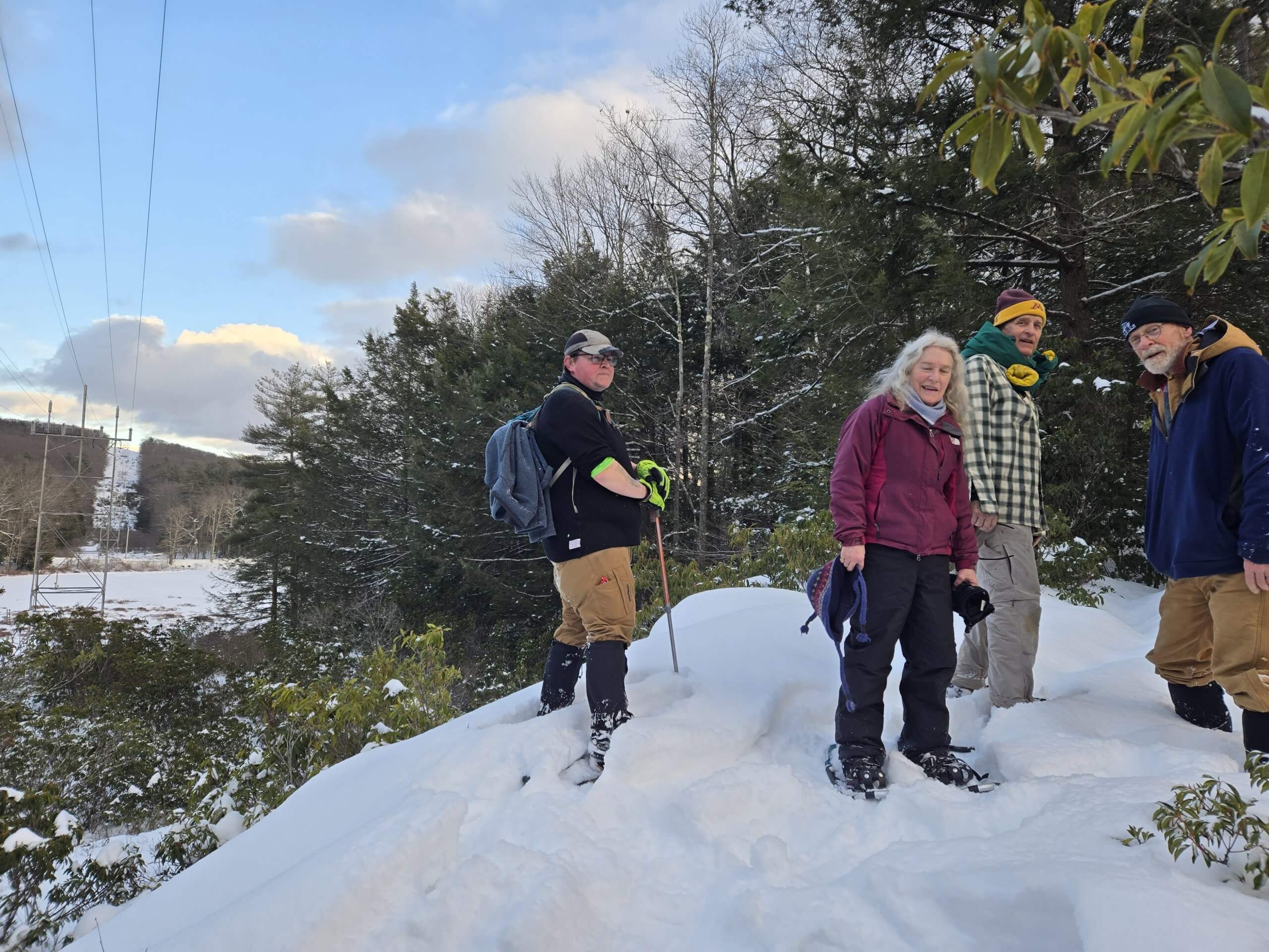
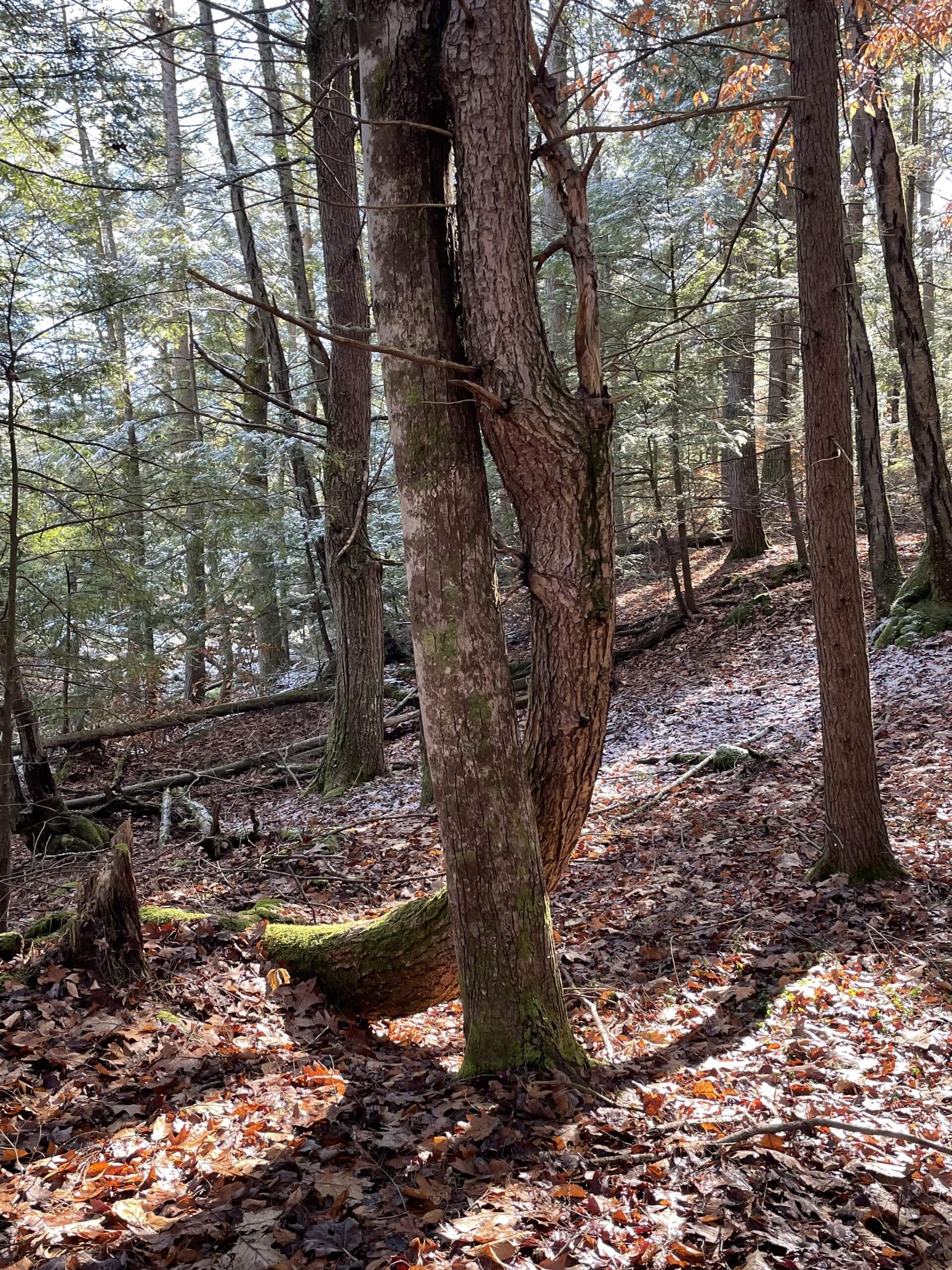
2 hour hike, a beautiful day! Photo by Clare Green