| Mileage: about 7.2 miles | Hike Rating: Difficult |
| Elevation change: about ± 1000 feet | Best time to hike: All year |
Parking:
Park where the New England Trail crosses Route 78 (Winchester Road), which is about 1.3 miles north of the Ohlsen Field parking lot and about 0.8 miles south of Robbins Road.
Special note: Parts of the trail are open to snowmobiles.
Description:
Although the Around the Mountain (ATM) Trail does not summit Mount Grace, be aware that this is a long hike with a considerable change in elevation. The hike proceeds in a clockwise direction, starting with most of the uphill sections in the first 2.2 miles and ending with a pleasant descent for the last 1.3 miles.
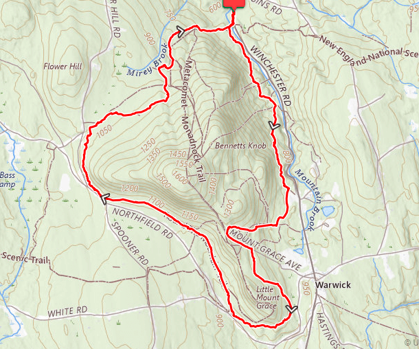
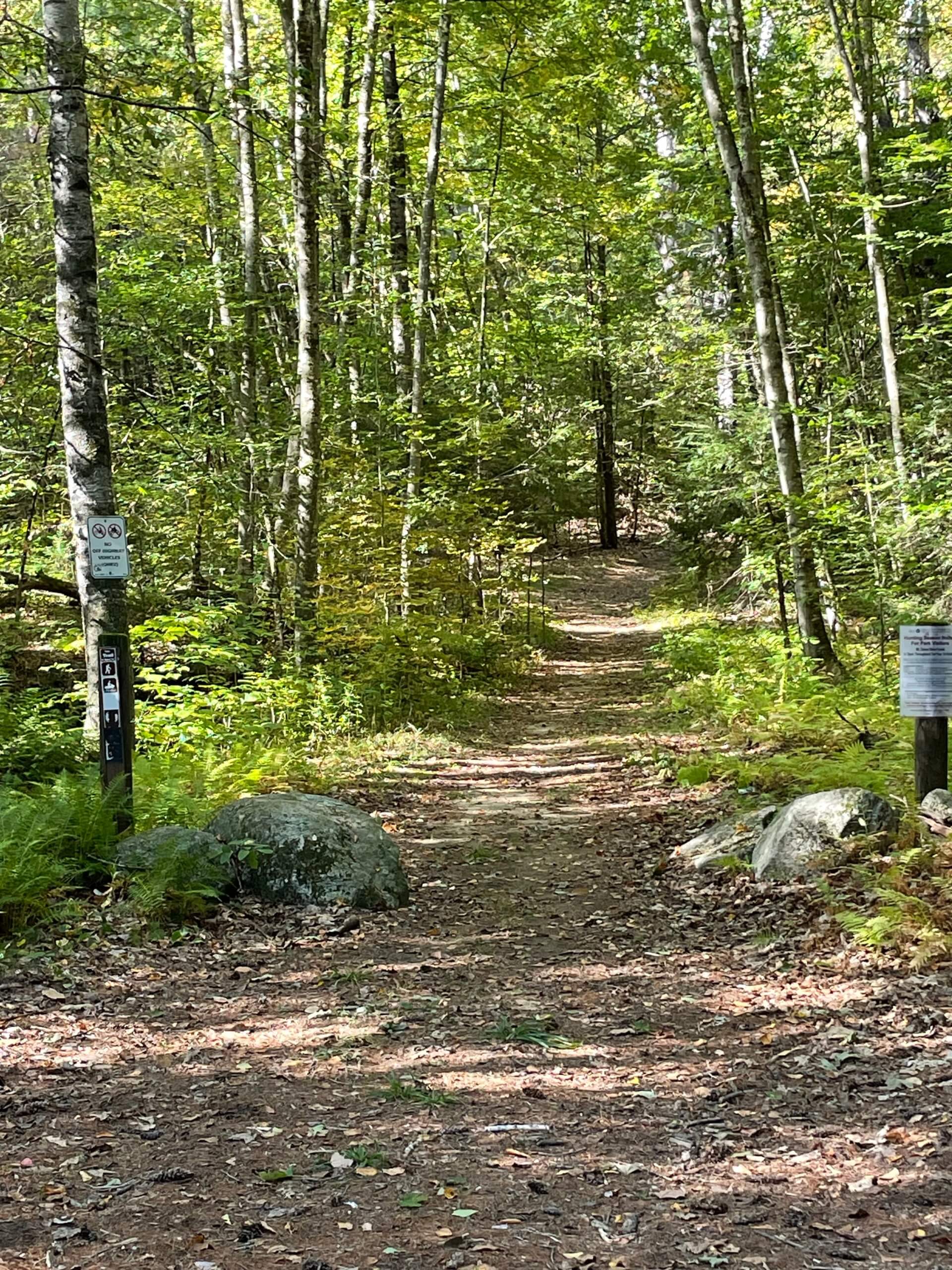
Start by entering the woods on the white rectangular blazed New England Trail (NET) on the west side of Route 78. Bear left after passing over the brook; you are now on the blue triangular blazed ATM. The trail proceeds mostly uphill, somewhat paralleling Route 78. Along the way, the trail crosses two snowmobile bridges, two old trails, and the remains of an old ski lift before meeting Ohlsen Field at about 1.5 miles. Stay to the right as you walk through the field which is often wet year-round – you may want to change into a dry pair of socks when the trail re-enters the woods at about 1.6 miles.
At about 1.8 miles, continue straight past the “To Summit” sign; the trail bears right shortly thereafter and is now mostly uphill; at 1.9 miles, bear left at the “To Summit 1.1” sign to stay on the ATM. At about 2.1 miles, old blazes indicate that the trail bears left. However, a major windstorm in October 2019 destroyed this part of the trail and so you must continue straight and up for about another 0.1 miles until you meet the gravel service road. You have now climbed about 675 feet and have completed most of the uphill part of the hike.
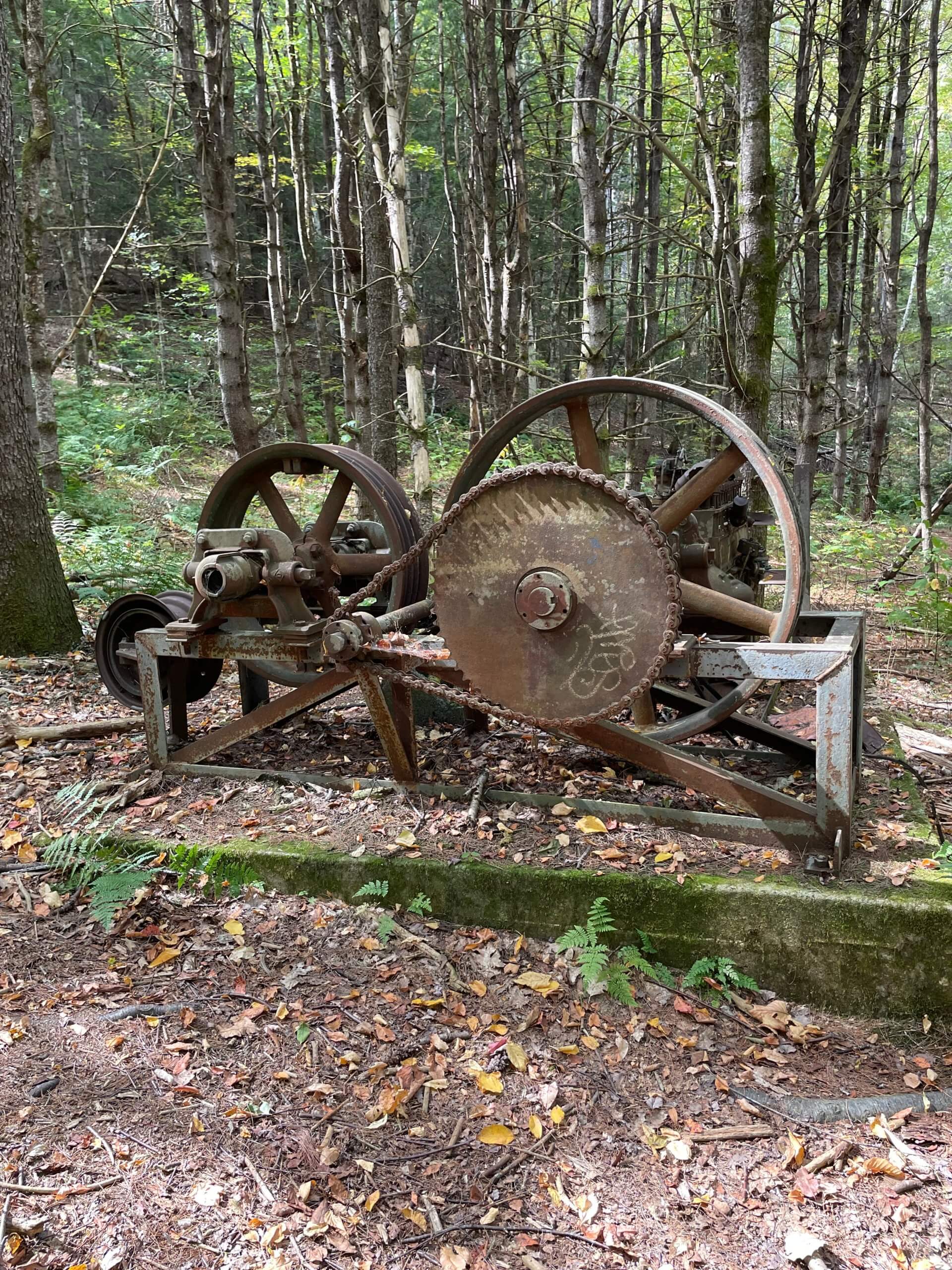
Go left and down until the trail continues again into the woods on your right at about 2.4 miles. At about 2.8 miles, the trail bears right at the bottom of a hill and will now somewhat parallel Northfield Road for about the next 2.2 miles. Stay straight on the ATM at about 3.2 miles when the ATM meets the NET on its right and again at about 4.2 miles when the ATM meets a snow snowmobile trail on its left.
Bear right and uphill at about 4.9 miles when the ATM meets with a spur on the left that descends to Northfield Road. At about 5 miles, at the bottom of the hill, the trail bears right and parallels the dirt part of Flower Hill Road along the hillside for about 0.5 miles before bearing right and away from Flower Hill Road. At about 5.6 miles, the trail bears right again and at about 6.2, the trail will mostly descend for the rest of the hike.
At about 6.4 miles, the ATM encounters a wetland which is often not possible to pass through; instead, bear left onto a semi-circular detour that will take you around the wetland and back to the trail. Go left on the ATM when the trail intersects the NET at about 6.5 miles. You are now on the combined ATM and NET. You will pass a shelter on your left as you continue on back to where you parked.

Warwick Trails Group – September 2025